
1. Satellites do not search for your phone
Watching the dot move in a map app, it is easy to imagine a satellite looking down at your phone and telling it where it is. In basic GPS positioning, however, satellites broadcast radio signals that many receivers can receive together. The receiver calculates its own position using the time and orbital information in those signals. Finding its position does not require a phone to send its own address to GPS satellites, or satellites to send individual replies to users. A GPS device that receives sufficient satellite signals can therefore determine its position without a mobile network or internet connection.
GPS is the name of the satellite navigation system operated by the United States, rather than the name of all satellite navigation. Other systems include Europe’s Galileo, Russia’s GLONASS, and China’s BeiDou; these systems are collectively called GNSS. Some devices use several systems together. Also, saying that satellites do not track receivers does not mean that phone apps do not share location. App location permissions and transmission to servers are separate functions. Distinguishing reception of satellite signals, the device’s calculation of coordinates, and the app’s use of those coordinates helps reduce confusion.
2. Travel time matters more than the direction a signal comes from
Position calculation starts with the fact that radio waves take time to travel. The receiver reads the codes and timing information in satellite signals and uses the difference between transmission and reception times to estimate distance. It also needs to know the satellite’s position, which requires the orbital information carried in the signal. Satellites keep moving, so their signals cannot be assumed to originate from an arbitrary fixed point in the sky. The basic principle is to multiply travel time by radio-wave speed to obtain distance. Real calculations also account for atmospheric effects and clock differences, however, so this is different from comparing seconds on a phone’s clock display.
Even a tiny time difference becomes large when converted into distance. For example, in an illustrative calculation taking radio-wave speed as about 300 million metres per second, one millionth of a second corresponds to a travel distance of about 300 metres. This is not a measurement of a phone’s actual position error. It is a conversion showing why time measurement and correction matter. In particular, if the receiver’s clock differs from the reference time, a common error enters its distance estimates for several satellites. Observations are therefore treated as pseudoranges, which include effects such as clock differences, rather than immediately equated with distances measured using a perfectly accurate ruler.
3. Observations from four satellites solve position and clock error together
Drawing all the points at the same distance from a satellite produces a spherical surface. The basic geometric idea is to find a position satisfying the distance conditions for different satellites together. A drawing of overlapping circles on a flat plane is only an analogy introducing the principle, rather than the actual three-dimensional calculation around Earth. In ordinary standalone positioning, the three components of the receiver’s position and the offset of its clock must be determined together. Solving these four unknowns normally uses observations from at least four satellites. One particular satellite is not assigned solely to altitude while another handles only time.
This is why a receiver does not need to contain an expensive clock like the atomic clocks on satellites. It can estimate its clock error while processing multiple observations together. Merely seeing four satellites does not guarantee an accurate result at all times. Their directions in the sky and observation quality also matter. Additional observations can help check the solution and reduce errors, but accuracy does not simply improve in direct proportion to the number of observations. Special methods may also use other sensors or height constraints, so the explanation about a minimum of four applies to these basic calculation conditions.
4. Accurate clocks and orbital data do not remove environmental effects
Satellites carry precise atomic clocks, while ground control facilities monitor satellite orbits and clocks and support updates to navigation information. Together, this space and ground infrastructure maintains the information the receiver needs about the satellite’s position and the time a signal was sent. This does not make the radio waves’ entire journey to Earth perfectly simple. Delays while passing through the ionosphere and troposphere also affect distance estimates. Receivers use relevant corrections and models, but the remaining error cannot be assumed to be identical for every device and environment.
Tall buildings in cities can block signals, and a signal reflected from a wall travels a longer path than one arriving directly. This multipath propagation can disrupt position calculations. Satellite reception can also become difficult indoors or underground, so a fast internet connection alone does not solve the problem. Conversely, if a road is drawn incorrectly on a map, even correct coordinates may appear to be in the wrong place. GPS.gov also distinguishes position errors caused by reception conditions from errors in map information. Seeing a dot appear on the opposite side of a building is not enough, on its own, to establish which is responsible.
5. The internet can assist the first position fix and map display
A receiver being switched on must find the necessary satellites, acquire their signals, and obtain navigation information. The time until its first result varies with whether previously stored information is available, how current it is, and how well signals are received nearby. Assisted GNSS can help by obtaining satellite-related information and other data through the internet or wireless networks. Depending on the implementation, a server may also participate in position calculations. The fact that independent satellite positioning can work without internet access must therefore be distinguished from a claim that a particular phone’s location function always operates in the same way and at the same speed.
The position displayed in a map app is not necessarily produced solely from satellite reception either. Depending on the device, operating systems and apps may use other information, such as Wi-Fi or mobile network base stations. Map data, including roads, shops, and place names, meanwhile, must be prepared separately from the coordinate calculation. Even when coordinates have been obtained, the display may be blank or show only some information if the map to display has not been saved. The reverse can also happen: the map opens, but the current position dot does not update. Checking location permissions, satellite reception, assistance information, and map data separately helps avoid blaming every problem on the connection alone.
6. Check map coverage and functions separately for offline use
When saving a map before a trip, check that the route you will travel, as well as the destination itself, lies within the saved area. Also check whether the app supports downloads for that region and your required mode of travel, and whether saved data need updating. For example, Google Maps’ official guidance explains regional availability restrictions and route coverage requirements for offline maps, and identifies features, including traffic information, that are unavailable offline. This is guidance for that service; it does not mean every map app offers the same functions. Saved maps, current coordinates, and live traffic information require different preparations.
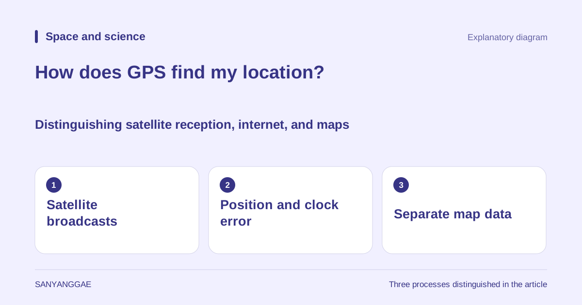
To explore the principle, stop somewhere with a clear view of the sky instead of operating the device while moving. First check that the map is saved and location permission is enabled, then observe the display on the same device under different connection conditions. A single observation may also be influenced by stored assistance information or a previous position, however, so a dot appearing quickly does not prove that only standalone satellite calculations were used. Nor should the displayed dot be read as a perfect guarantee of your actual position. This article’s illustration is an explanatory diagram created by Sanyanggae to distinguish satellite signals, receiver calculations, and a separate map display. It is not an actual satellite layout or the result of an accuracy test on a particular device.